

Maps & Boundary Changes
Breckinridge County was created on 9 December 1799 from part of Hardin County, becoming the 39th county formed in Kentucky. The county seat was established at Hardinsburg and has remained there since its creation.
University of Kentucky
In 1823-1824, the new county of Meade was formed from portions of Breckinridge and Hardin Counties, trimming Breckinridge's northern territory along the Ohio River. In 1829, Breckinridge further lost a portion of land to the newly formed Hancock County.
According to the Atlas of Historical County Boundaries (Newberry Library), later changes to Breckinridge's borders were comparatively minor line adjustments with neighboring counties; the county's overall shape has remained essentially the same since the early 19th century.
- Kentucky County Formation Chart (KDLA)
- Animated Kentucky County Boundary Maps (MapOfUS)
- Atlas of Historical County Boundaries - Kentucky (Newberry)
Maps You Can View or Download
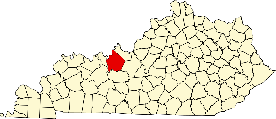
- Locator map of Kentucky highlighting Breckinridge County (Wikimedia Commons)
- Map of Meade and Breckinridge Counties (Kentucky Historical Society)
- Historical Kentucky highway & county maps (KY Transportation Cabinet)
- Sanborn Fire Insurance Maps - Cloverport & Hardinsburg (Library of Congress)